
📝 Description
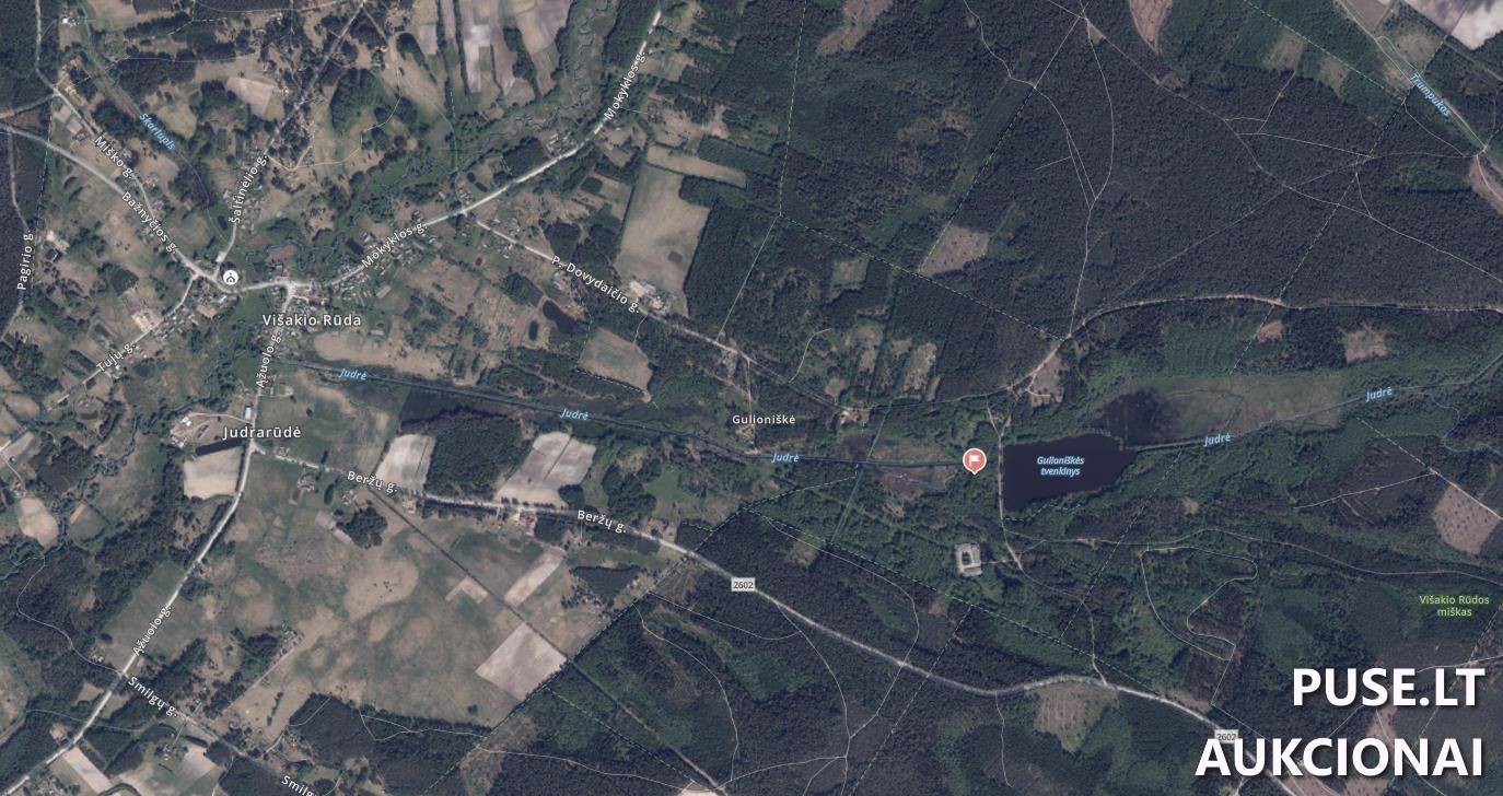
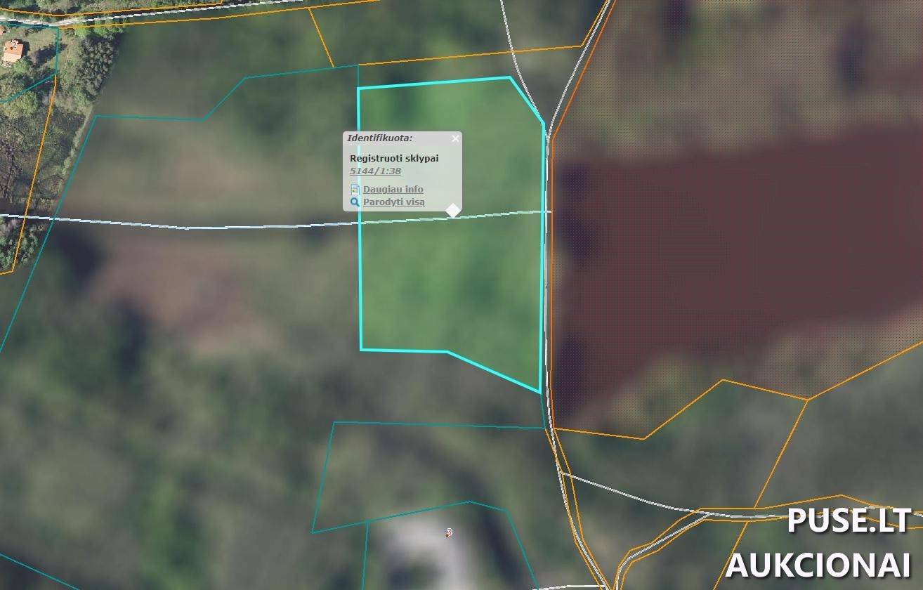
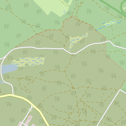
For sale is a 2.8700 ha agricultural land plot located in Kazlų Rūdos municipality, within the Gulioniškės village territory. The unique number is 4400-0649-1189, and the cadastral register number is 5144/0001:38. The plot has an irregular rectangular shape, bordering on a gravel road and adjacent undeveloped plots. Its fertility rating is 23.
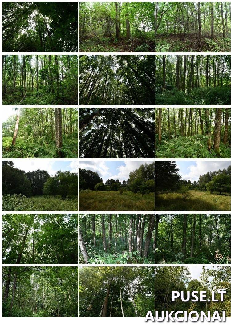
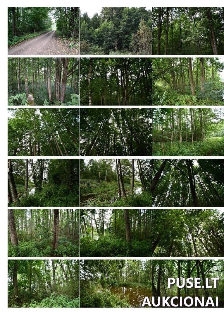
Part of the plot is forested, while the rest is pasture. The forest area, registered in the State Forest Cadastre, covers 2.8515 ha. Based on tax data, the forest section is dominated by deciduous trees – black alders and aspens. The Judrė stream flows through the plot, with a water body area of 0.1200 ha.
It is important to note that various protection strip and zone restrictions apply to the plot, which are not registered in the Real Estate Register. These include surface water bodies bank protection strips, protection zones (Section VI, eighth and seventh subsections) and road protection zones (Section III, second subsection) with a total area of 0.24 ha. Additionally, part of the plot (totaling 3704 sq m, which equals 286 sq m + 4 sq m) falls within the infrastructure protection zone for electronic communications networks. Furthermore, 3 418 sq m falls into the territory: peatlands and springs (Section VI, ninth subsection).
This property is being sold via bailiff auctions, where participation is limited to individuals or entities meeting requirements set forth in relevant laws or holding necessary permits. The winning bidder must submit documents confirming compliance with land acquisition requirements for agricultural land under the Law on Acquisition of Agricultural Land or the Forest Law. Currently, the right to dispose of this property is restricted due to an arrest order.
❓ Frequently asked questions
What is the total area and main purpose of the land plot?
The total area of the land plot is 2.8700 hectares, and its main usage purpose is agricultural land.
When will the bailiff auctions for this plot end?
The auctions are ongoing and will conclude on 2024-10-21 11:43:59.
What is the starting auction price for the land plot?
The starting auction price is 10880 EUR.
Does the plot contain forest and water bodies?
Yes, the plot includes 2.8515 ha of forest (dominated by black alders and aspens) and 0.1200 ha of water bodies (the Judrė stream flows through).
What are the key requirements for participating in the auction and acquiring this property?
Only individuals or entities meeting the requirements set forth in the Law on Acquisition of Agricultural Land or the Forest Law may participate in the auction, which must be confirmed with documents after winning.
What is the cadastral number of the plot?
The land plot's cadastral number is 5144/0001:38, and the unique number is 4400-0649-1189.