
📝 Description
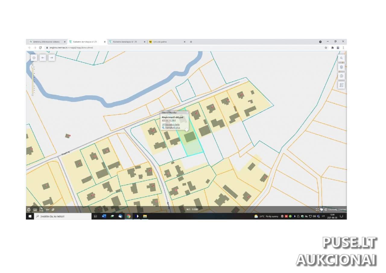
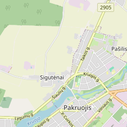
This property is sold at a bailiff auction with an opening bid of 1276 EUR. The land lot share (1/6) is located in Pakruojis District Municipality, Šukionių Village, Paupio Street 19. Its primary usage purpose is Other, specifically for Residential Areas intended for low-rise residential building construction.
The total area of the land plot is 0.2000 hectares. The land productivity index is 46.0. The total area consists of agricultural lands (0.1200 ha, including 0.1000 ha arable land and 0.0200 ha garden land) and occupied territory (0.0800 ha).
The auction runs publicly from 2025-02-04 13:36:56 until 2025-03-06 13:36:59. The object's cadastral number is 6578/0004:104, and the unique identifier is 4400-0180-5321. Please note that there is a property arrest restriction on the right to dispose of this land share.
Viewing and detailed information can be obtained by contacting Bailiff Vaiva Šimkienė's office in Šiauliai.
❓ Frequently asked questions
What is the opening auction price for the land lot share?
The opening price for the land lot share (1/6) at the auction is 1276 EUR.
When does the bailiff auction for the land lot share end?
The auction ends on 2025-03-06 13:36:59.
What is the primary purpose and usage method of the land plot?
The primary usage purpose is Other, and the usage method is Residential Areas for low-rise residential building construction.
What is the total area of the land plot and what portion is being sold?
The total land plot area is 0.2000 ha, and 1/6 of this plot share is being sold.
What is the land plot's cadastral number?
The land plot's cadastral number is 6578/0004:104, unique identifier - 4400-0180-5321.
Are there restrictions on the right to dispose of this plot?
Yes, a property arrest restriction on the right to dispose is indicated.