

📝 Description
A land plot of 0.1141 ha is for sale in Klaipėda County, Trušelių village, Smeltaitės street no. 6. This property is sold as a secondary repeat auction with a starting price of 4980 EUR.
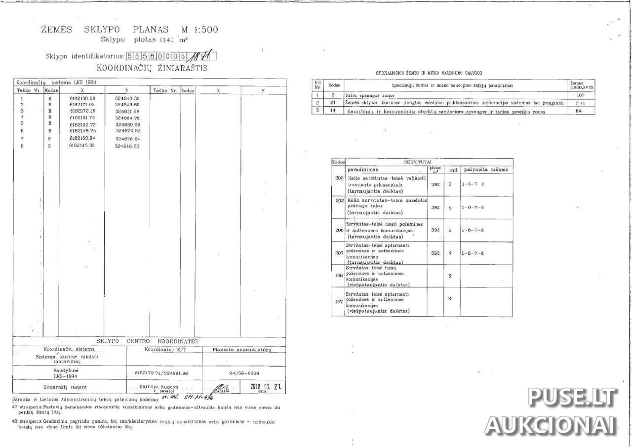
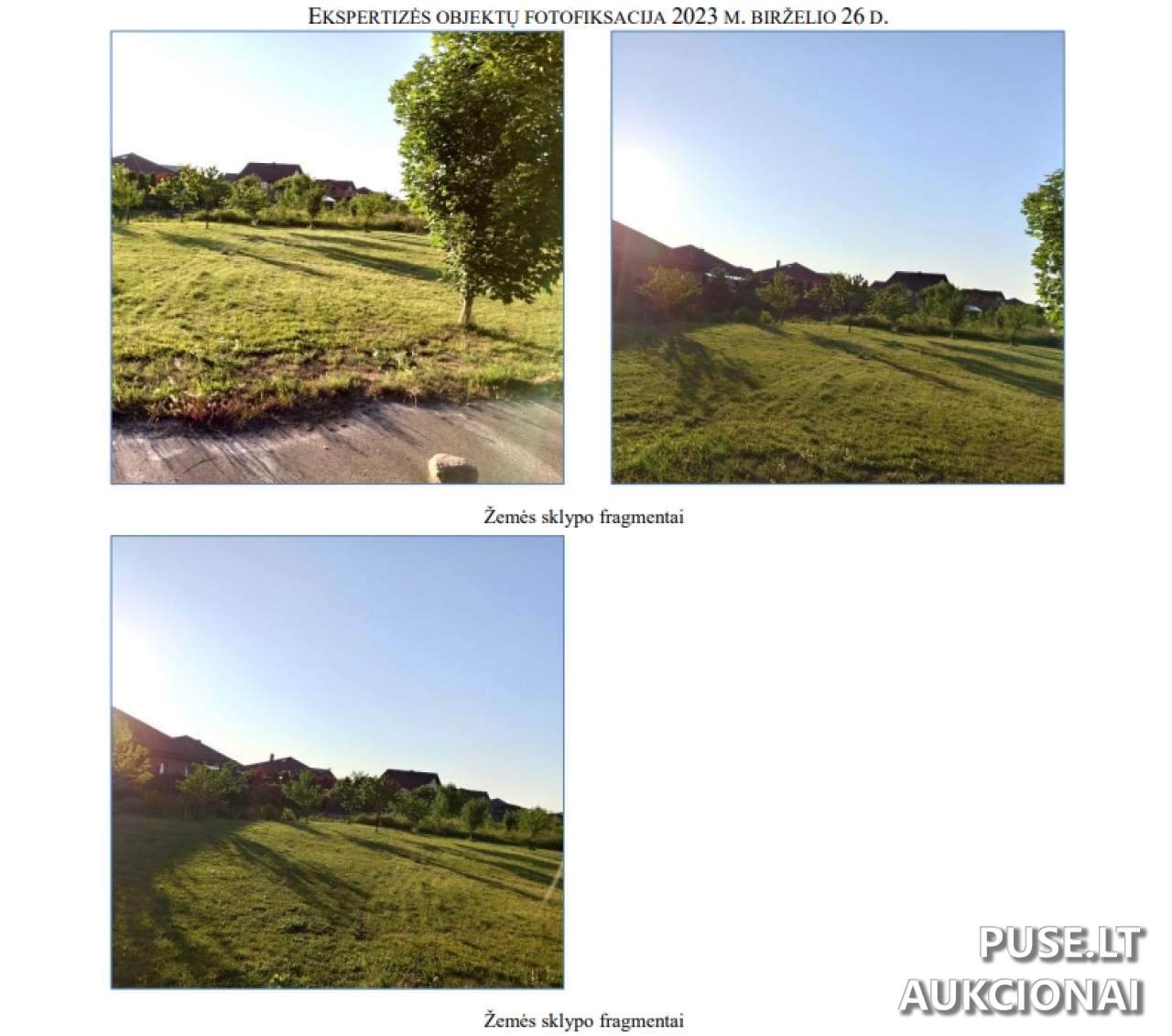
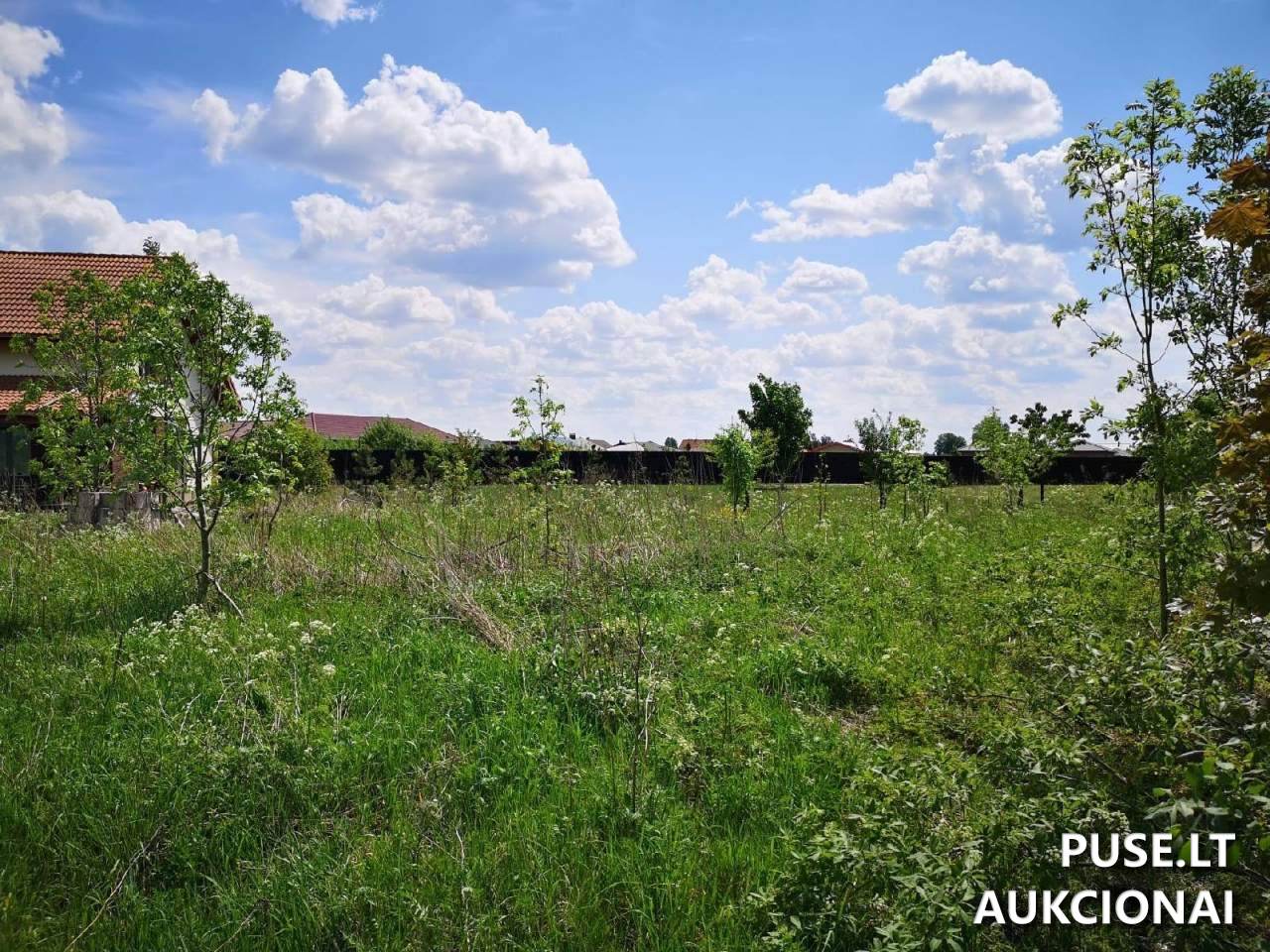
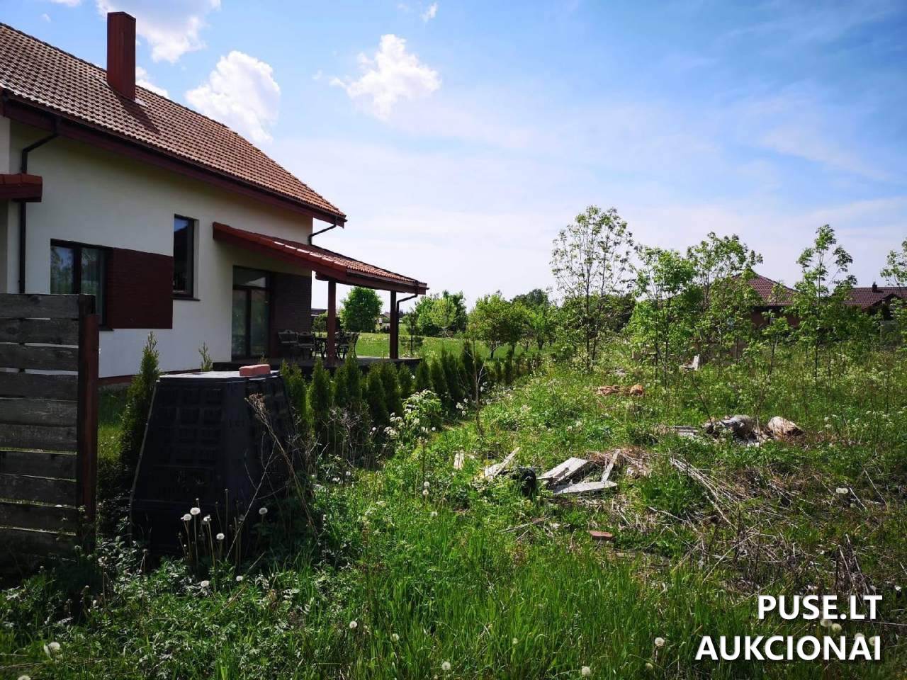
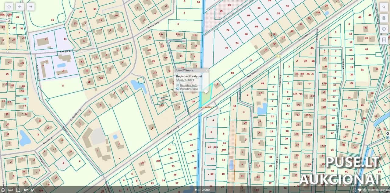
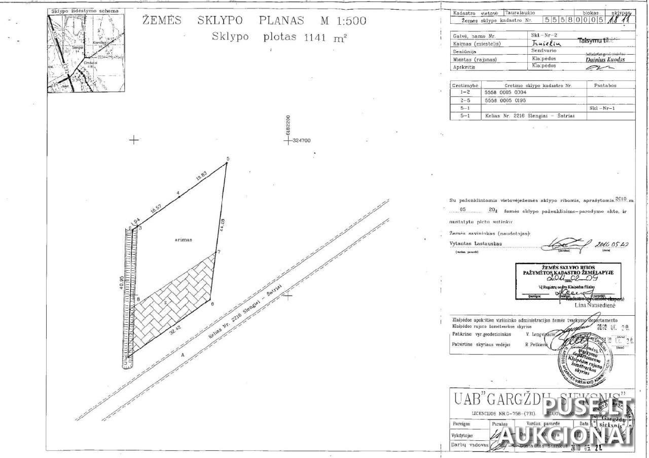
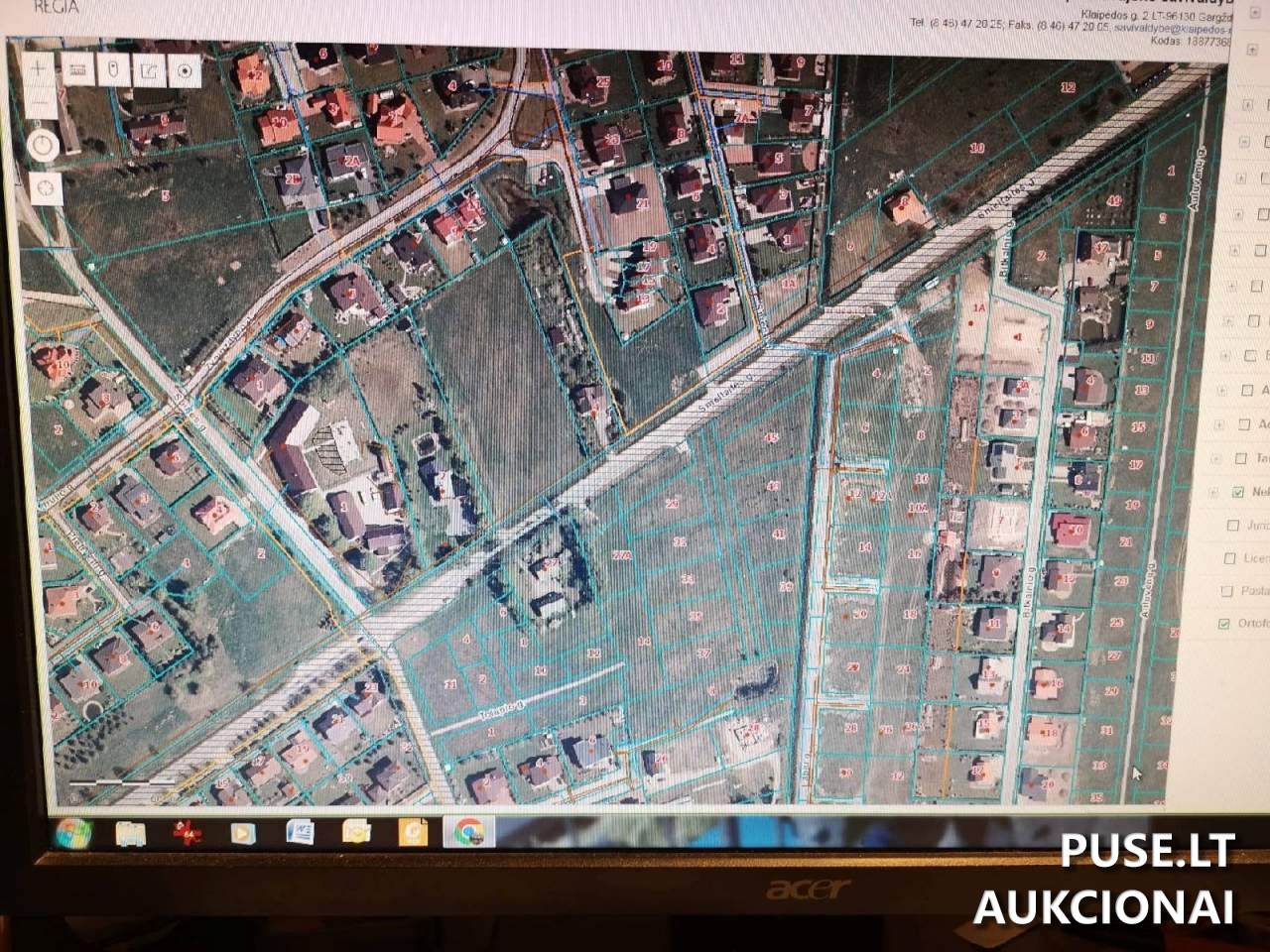
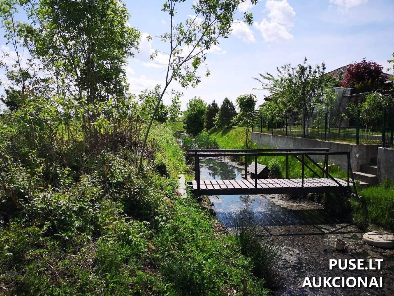
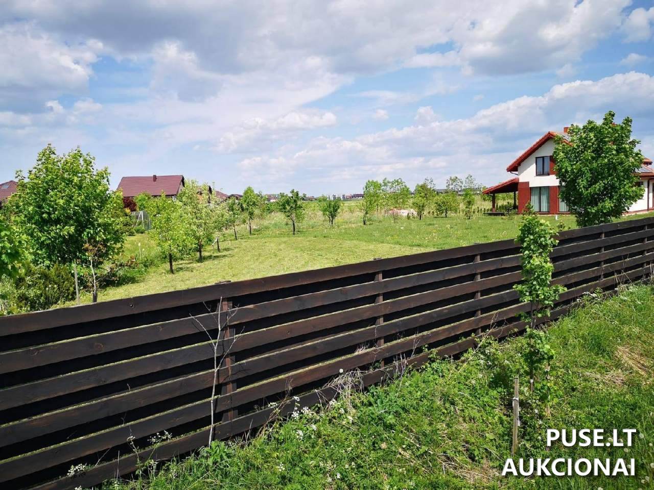
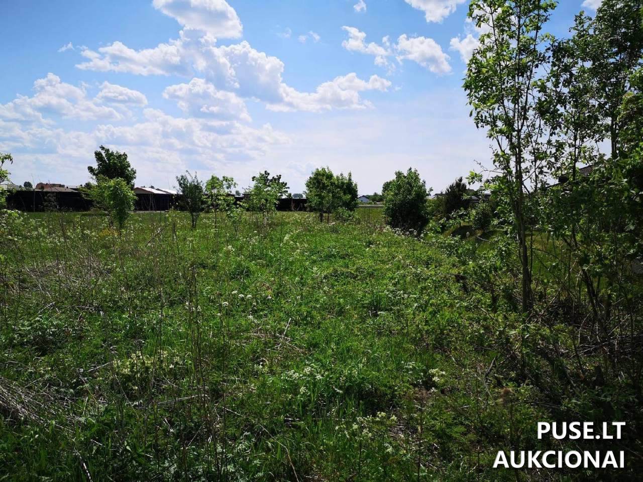
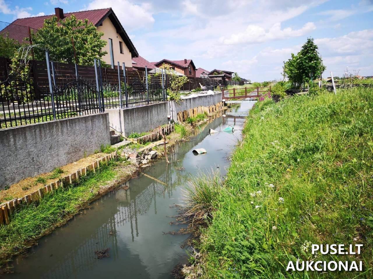
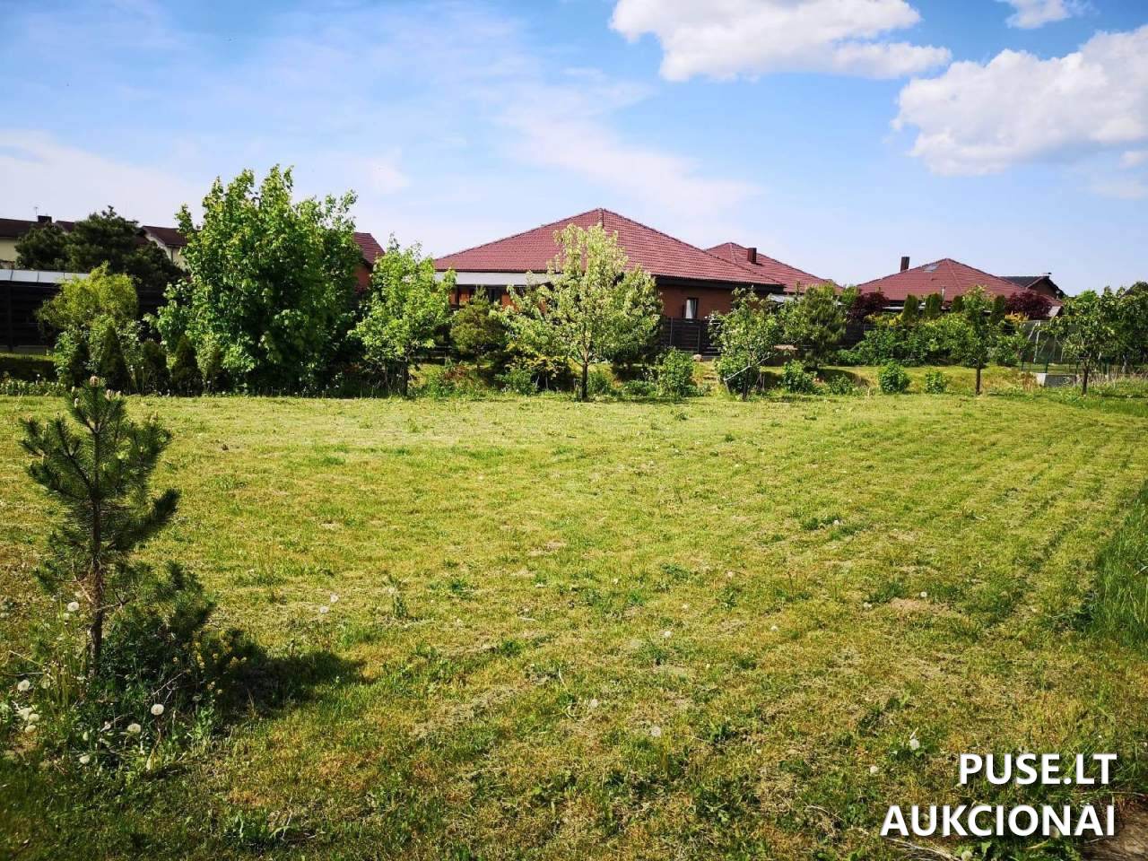
The auction runs from 2025-07-22 11:55:50 until 2025-08-21 11:55:59. The plot has an irregular polygon shape and is partially fenced. It borders other plots, Smeltaitės street, and a channel. The entire area of 0.1141 ha (1141 sqm) is classified as agricultural land with a productivity index of 54.0.
The primary usage category is communication and engineering network corridors. The cadastral number is 5558/0005:1811, unique identifier 4400-2136-1053. A property arrest restriction applies to the object. Cadastral data was established on 2010-05-20.
For more details about auction procedures and participation requirements, contact Bailiff A. Rimaitė Žičkuvienė's office in Klaipėda.
📍 Location
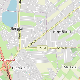
📍 Klaipėdos r. sav. Trušelių k. Smeltaitės g. 6
❓ Frequently asked questions
What is the starting price of the land plot at auction?
The starting price of the land plot is 4980 EUR.
When does this real estate auction take place?
The auction starts on 2025-07-22 11:55:50 and ends on 2025-08-21 11:55:59.
What is the area and location of the land plot being sold?
The plot for sale is 0.1141 ha (1141 sqm) in Klaipėda County, Trušelių village, Smeltaitės street no. 6.
What is the main usage category of the land plot?
The land plot usage category is: communication and engineering network corridors.
What is the cadastral number of the land plot?
The cadastral number is 5558/0005:1811, and the unique identifier is 4400-2136-1053.
Does the land plot have any restrictions?
Yes, a property arrest restriction is noted in the asset restrictions.