
📝 Description
For sale: a 0.1500 hectare (15 are) agricultural land plot, unique ID 4400-1758-4213, located in Karkažiškės village, Švenčionių rajono savivaldybė. The entire 1/1 share is being sold at a bailiff's auction. The starting bid for this public auction is 416 EUR.
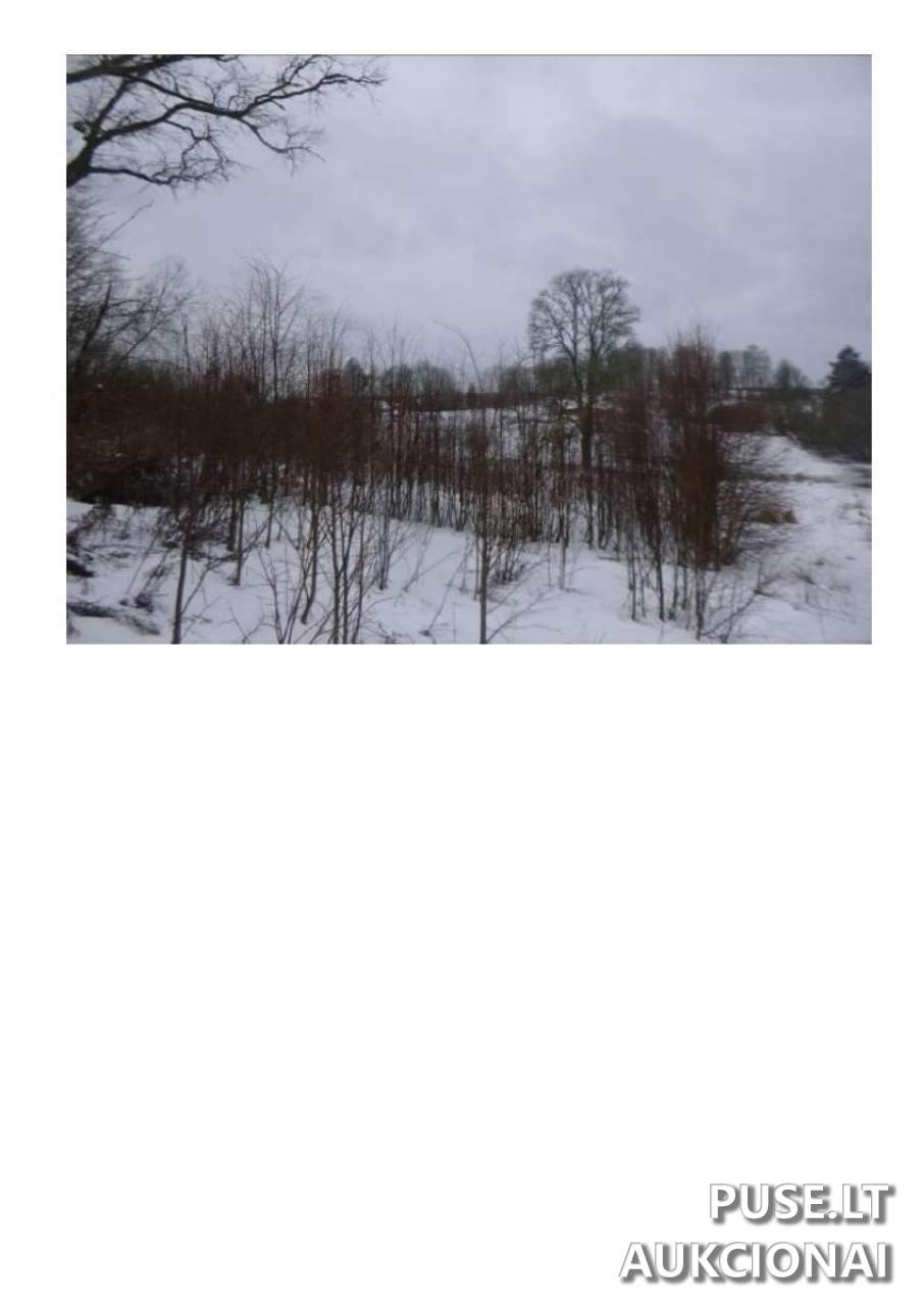
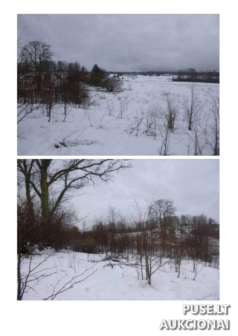
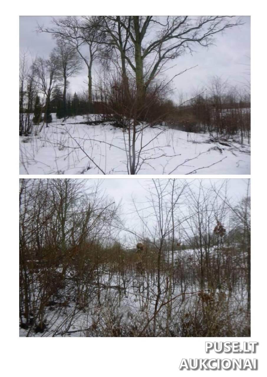
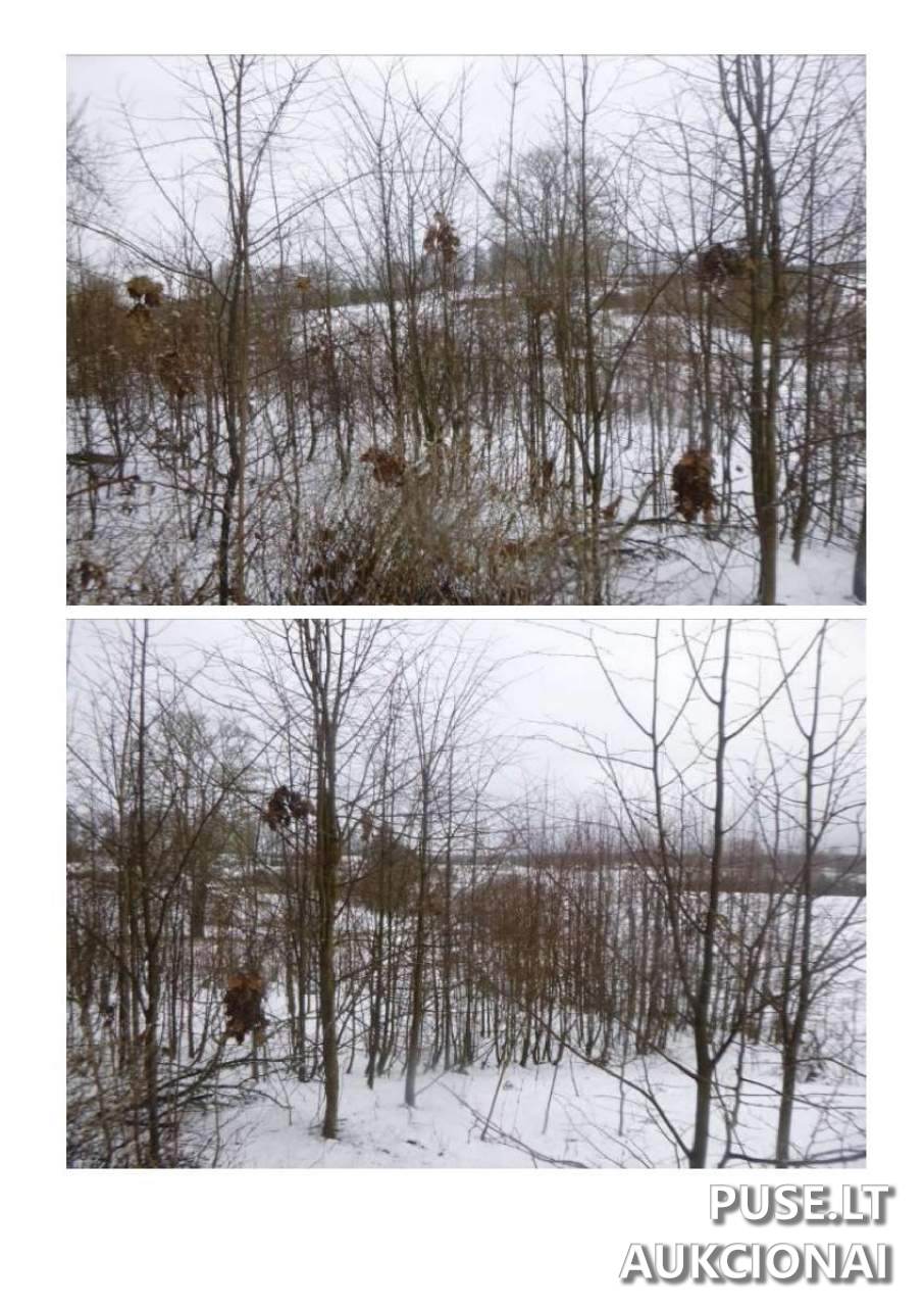
The cadastral number is 8620/0001:399. Physical inspection revealed the plot has an irregular shape and uneven terrain. The land is currently covered with trees and bushes, and access is via a field road.
The auction runs from 2025-09-18 09:15:29 and closes on 2025-10-20 09:15:59. The right to dispose of the property is temporarily restricted due to a lien (seizure). Participation in the auction is open to all individuals meeting the legal requirements for property acquisition.
❓ Frequently asked questions
What is the starting price for the land plot at the auction?
The starting price for the land plot at the public auction is 416 EUR.
When does the bailiff's auction for this property end?
The auction selling the plot closes on 2025-10-20 09:15:59.
What is the area and intended use of the land plot being sold?
A 1/1 share of a 0.1500 ha agricultural land plot is for sale.
Where is the land plot located?
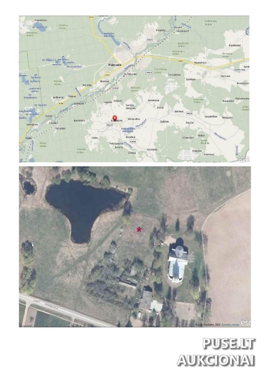
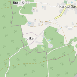
The plot is in Karkažiškės village, Švenčionių rajono savivaldybė.
Are there any restrictions on disposing of the acquired property?
Yes, the right to dispose of the property is restricted due to a property lien.
What are the important physical characteristics of the plot?
The plot has an irregular shape, uneven terrain, and is overgrown with trees and bushes. Access is via a field road.
What identification information is associated with the plot?
The unique number is 4400-1758-4213, and the cadastral number is 8620/0001:399.