


📝 Description
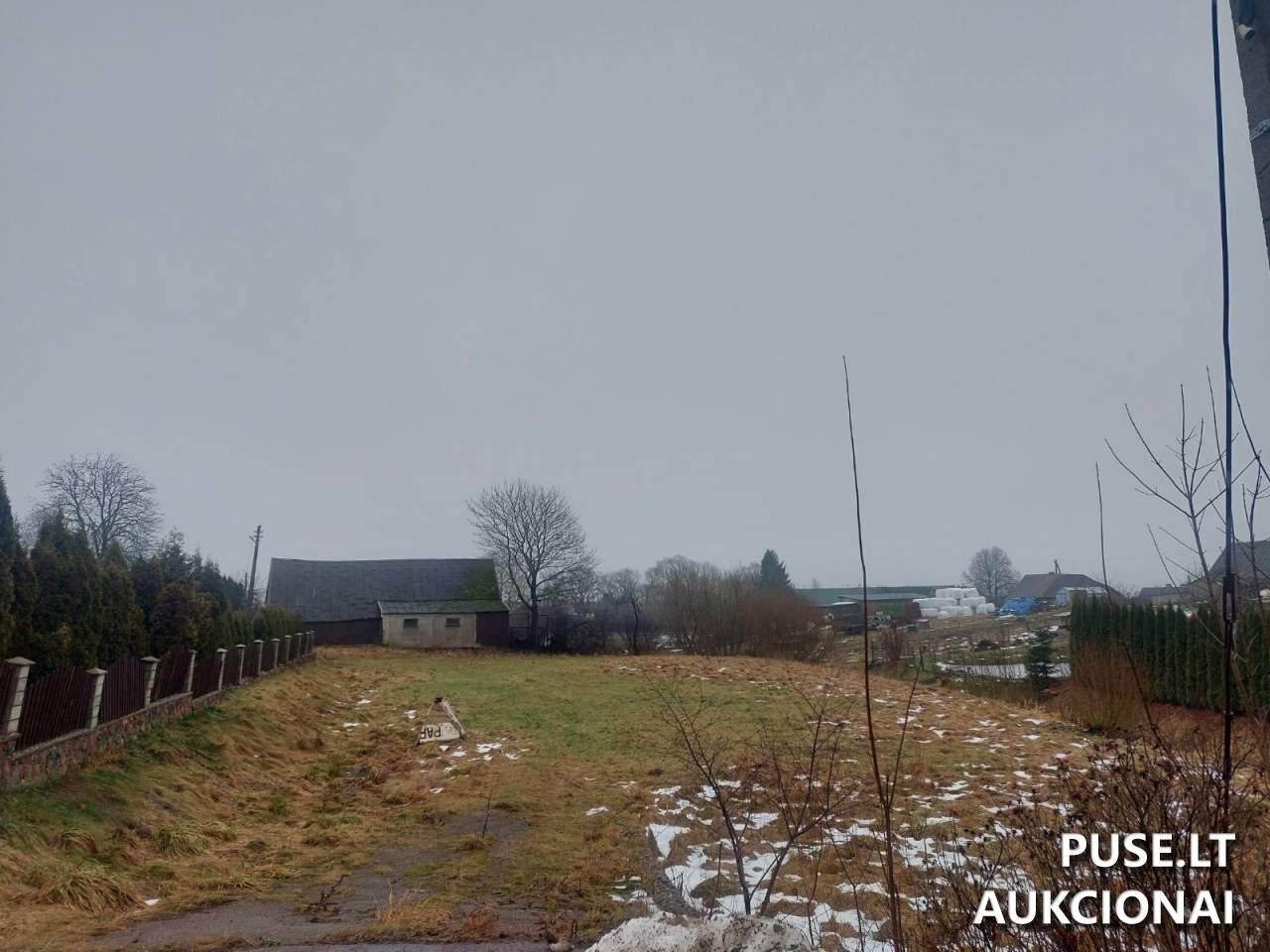
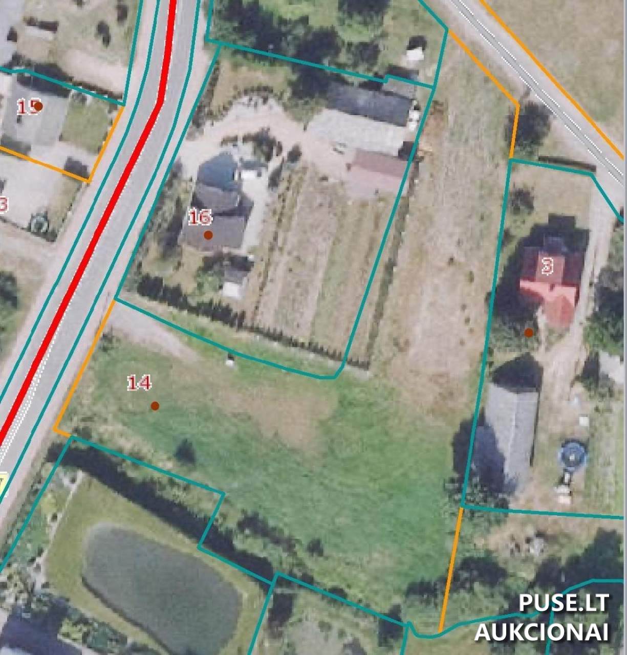
Selling a 2/3 share of a 0.29 ha land plot located in the town of Kaltinėnai, Varnių g. 14 (Šilalė district). According to registration data, structures were previously recorded on the plot (a dwelling house, sheds, a barn, several utility buildings, a greenhouse, and yard structures like a well and yard area) identified by unique numbers: 8796-0013-3010; 8796-0013-3021; 8796-0013-3032; 8796-0013-3043; 8796-0013-3054; 8796-0013-3065; 8796-0013-3076; 8796-0013-3087; 8796-0013-3098; 8796-0013-3104; 8796-0013-3110; 8796-0013-3121. Please note: the listing information states that no registered structures remain on the land plot. The plot was delineated using preliminary cadastral surveys, meaning the area measured during a full geodesic survey might differ from the size specified in the Real Estate Register extract. The designated land use is residential territory, specifically for low-rise residential house construction. The property is currently under lien (seizure).
📍 Location
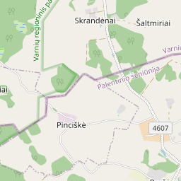
📍 Šilalės r. sav. Kaltinėnų mstl. Varnių g. 14
❓ Frequently asked questions
What is the starting price for this property and what share is being sold?
The starting price is 11 500 EUR. A 2/3 share of the land plot is being sold.
Where is the plot located and what is its area?
Address: Kaltinėnų mstl., Varnių g. 14, Šilalės r. The declared area is 0.29 ha (based on preliminary cadastral measurements).
When is the auction taking place?
The auction starts on 2025-11-18 09:00:00 and ends on 2025-12-18 09:00:59.
Are there structures on the plot?
The Real Estate Register lists several structures with unique numbers (e.g., 8796-0013-3010; 8796-0013-3021, etc.), but the notice indicates that virtually no registered structures remain on the plot.
Are there any legal restrictions or additional fees?
The plot is subject to a lien. VAT object: No. Specifics regarding other taxes are not indicated in the listing.
How can I arrange a viewing?
Viewings are organized through the insolvency administrator — contact the administrator; contact details are removed due to GDPR. It is recommended to arrange a time in advance.
Can the plot area change after geodesic surveys?
Yes. The plot was formed based on preliminary cadastral measurements, so the geodesic survey might result in a different area size than specified in the register extract.