
📝 Description
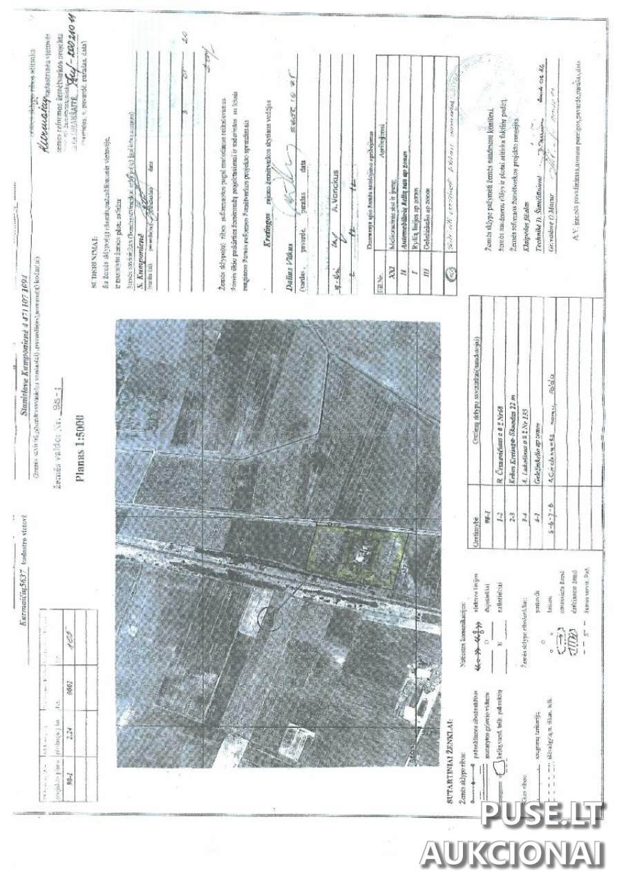
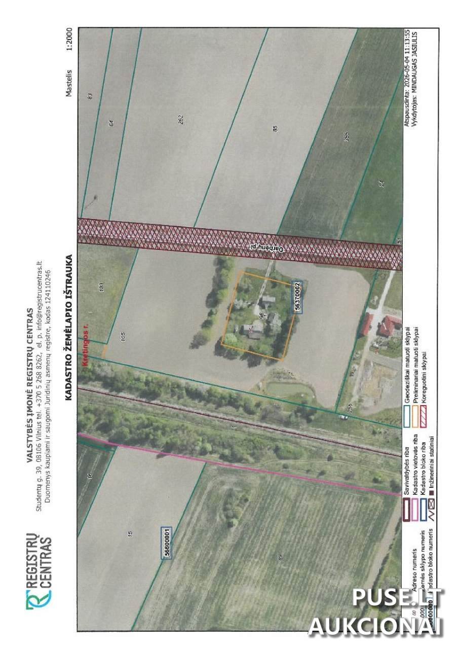
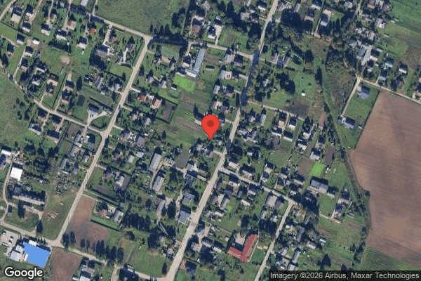
A 2.2400 hectare agricultural land plot in Kurmaičiai village, Kretinga District Municipality, is being sold via bailiff auction. The starting price for this 1/1 share of the asset is 20240 EUR. The cadastral number is 5637/0002:105, and the unique ID is 5637-0002-0105. The property right is currently restricted due to asset seizure, and purchase is limited to individuals meeting statutory requirements.
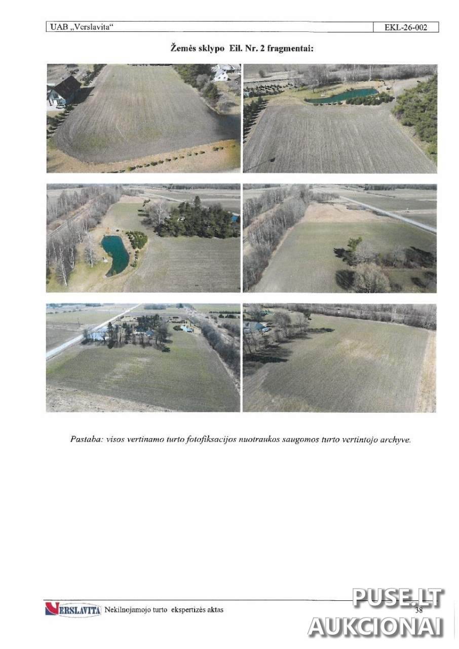
The total area is 2.2400 ha. This includes 2.1500 ha of arable land with a soil productivity rating of 45.0. There is also a 0.0200 ha water body and 0.0700 ha of other land. All agricultural land (2.1500 ha) is drained.
The plot borders the Darbėnai highway to the east, a homestead plot to the south, another arable plot to the north, and a railway to the west. A separate homestead plot is situated in the middle of the land; access to it is provided across the subject plot via a gravel track, approximately 20 meters long.
The land is currently under crop. A constructed water basin is located in the southwestern (SW) part of the site.
The ongoing auction begins on 2026-05-04 12:06:51 and closes on 2026-06-03 12:06:59.
❓ Frequently asked questions
What is the starting price for the 2.24 ha land plot in Kurmaičiai, Kretinga district?
The starting price for the 1/1 share of the agricultural land plot is 20240 EUR.
When does the bailiff auction for this plot end?
The auction ends on 2026-06-03 12:06:59.
What are the main land use characteristics for this plot?
The main purpose is agriculture, featuring 2.1500 ha of arable land (fertility score 45.0) and a 0.0200 ha water body.
What surfaces border the plot with cadastral number 5637/0002:105?
The eastern boundary borders the Darbėnai highway, the southern with a homestead plot, the northern with an arable plot, and the western side with a railway.
Is it possible to inspect the agricultural land plot before the auction?
For inspection arrangements, please contact the bailiff's office managing the auction.
What restrictions apply to the sale of this property?
The right to dispose of the property is restricted due to an asset seizure, and the agricultural land plot can only be acquired by individuals who meet statutory requirements.
What is the access to the homestead plot located inside the land parcel?
Access to the internal homestead plot is via a gravel track on the surveyed land, about 20 meters away.