

📝 Description
A 0.2327 hectare land plot in Raseiniai city, located at Zibuokliu 2-oji g. 2, is being sold via a public bailiff auction. This property, which is subject to mortgage and seizure restrictions, is designated for the construction of low-rise residential buildings. The cadastral number is 7263/0014:131, and the unique number is 7263-0014-0131. The entire 1/1 share is for sale. A portion of the plot, 0.1885 ha, is currently developed/built-up territory. The agricultural utility index is 40.8, and the plot boundaries were established through cadastral measurements, ensuring accuracy. The starting price for this property is 76320 EUR. The auction begins on 2026-06-12 09:51:27 and closes on 2026-07-13 09:51:59. Site inspection is available at the advertised address in Raseiniai municipality, Zibuokliu 2-oji g. 2.
The sale is managed by Bailiff Eurika Rulienė, represented by the Office of Bailiff E.Rulienė, located at Vilniaus g. 105, LT-60171 Raseiniai. Legal entities Daiva Jankauskienė and Arūnas Jankauskas (as the owners of the share being sold) are involved in the auction proceedings. Prospective buyers should note the existing restrictions related to the Mortgage Agreement and Property Seizure.
The sale is managed by Bailiff Eurika Rulienė, represented by the Office of Bailiff E.Rulienė, located at Vilniaus g. 105, LT-60171 Raseiniai. Legal entities Daiva Jankauskienė and Arūnas Jankauskas (as the owners of the share being sold) are involved in the auction proceedings. Prospective buyers should note the existing restrictions related to the Mortgage Agreement and Property Seizure.
📍 Location
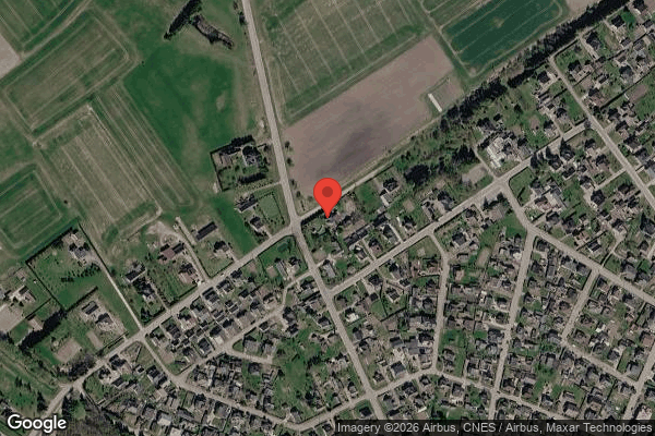
📍 Raseinių r. sav. Raseinių m. Žibuoklių 2-oji g. 2
❓ Frequently asked questions
What is the starting price for the land plot in Raseiniai?
The starting price for the land plot at Zibuokliu 2-oji g. 2, Raseiniai, in the auction is 76320 EUR.
When will this bailiff auction take place?
The auction will start on 2026-06-12 09:51:27 and end on 2026-07-13 09:51:59.
What is the area of the land plot for sale?
The land plot area is 0.2327 ha. The built-up area amounts to 0.1885 ha.
What is the designated use for this land plot?
The land plot's intended use is for low-rise residential building construction.
What legal restrictions apply to this plot?
The property is subject to restrictions from the Mortgage Agreement and Property Seizure.
What is the cadastral number of the land plot?
The cadastral number is 7263/0014:131, and the unique number is 7263-0014-0131.